Tag: geolocation
-

The (accidental) political developer at Codemotion Berlin
Here are the abstract and the slides of my talk “the (accidental) political developer” at Codemotion Berlin today. [googleapps domain=”docs” dir=”presentation/d/e/2PACX-1vT8m4-FnNicJ_E-aTk2AIAHj2dm09istcIdr9y_i_E306kp8yhXjcT0Jy3uTjVh-BNxr8s-4QEDm_zD/embed” query=”start=false&loop=true&delayms=3000″ width=”480″ height=”299″ /] Update Listen to the audio recording here. Check out the slides here.
-

From Macedonia to Codemotion
As the BBC recently reported, Matthew Nimetz has spent the last 23 years trying to find a name for the republic of Macedonia that can be accepted both in Skopje and Athens. But a solution for the Macedonia naming dispute has not been agreed yet. What name should a developer use today when working on…
-
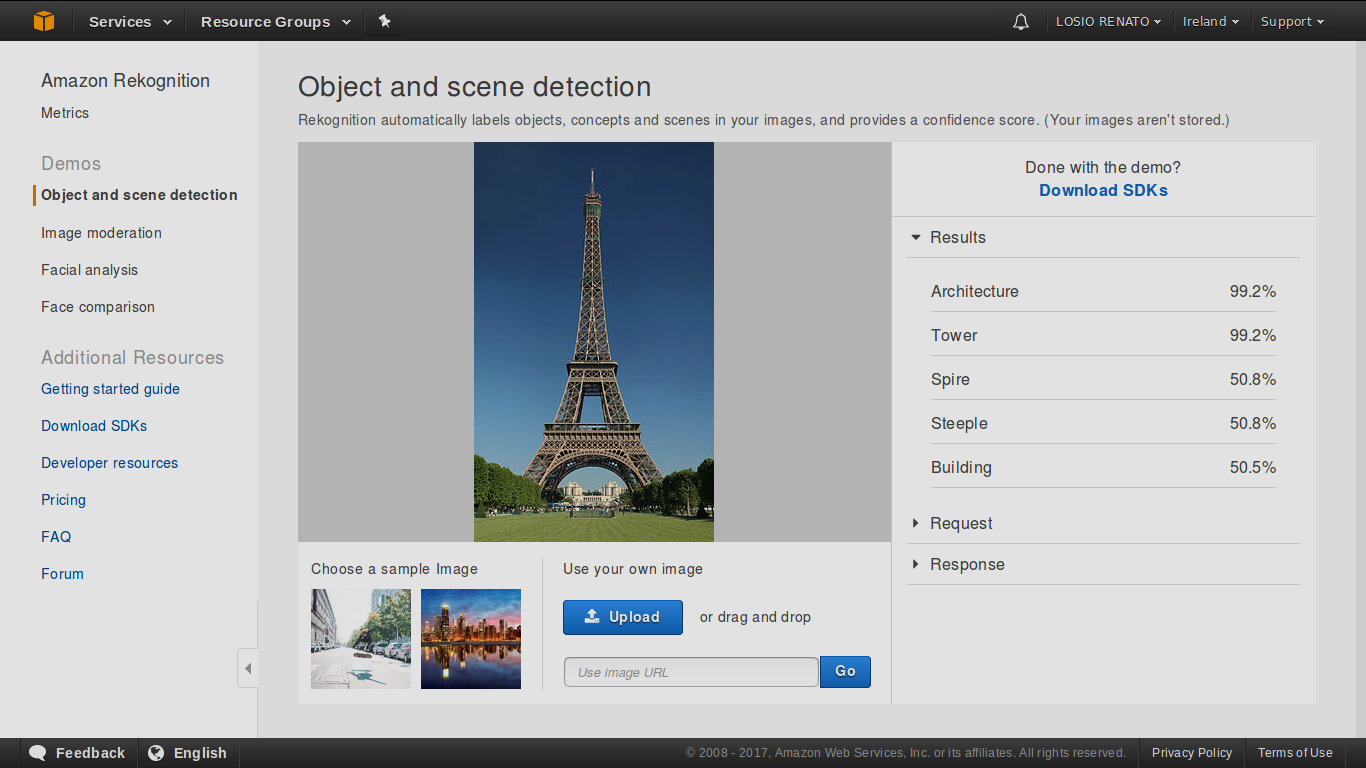
Location-based services and countries on AWS
A few weeks ago I covered my experience and challenges working with geolocation technologies for Funambol and RaceBase World, as the (accidental) political software developer. How does it work using AWS services? As the focus of this blog is AWS technologies, what about Amazon and their location-based services? Any way to keep those geolocation issues…
-
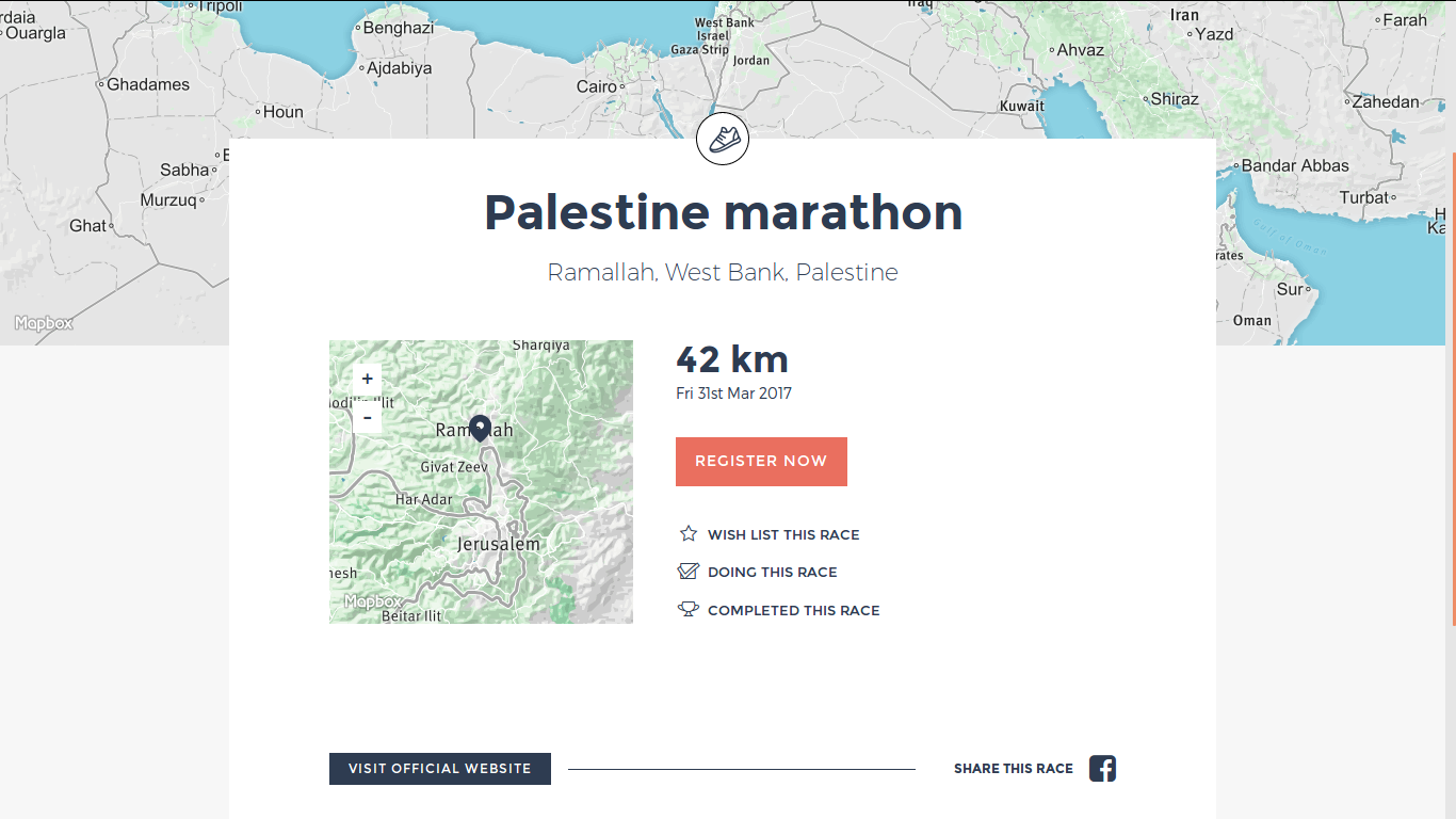
The (accidental) political software developer
As a software developer, the chance to discuss politics is high at the coffee machine or after a couple of beers in the evening but not while writing code. Somehow the last few weeks proved me wrong, I managed to discuss controversial borders and disputed countries in more than one occasion. And all thanks to…